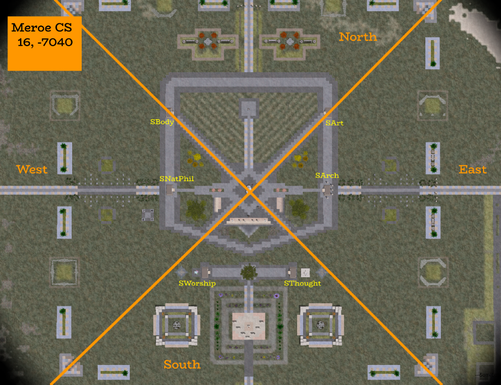
Vegetation Survey/MeroeCS
This map is centered on the Meroe Chariot Stop in Blue Nile at 16, -7040.
NOTE: Some of the surveyed vegetation is outside of the screenshot.
Trees
| North Quadrant | East Quadrant | South Quadrant | West Quadrant |
|---|---|---|---|
| North of Chariot Stop inner ring
Oranje (8) White Pine (8)
Beetlenut (4) Bloodbark (1) Broadleaf Palm (5) Fern Palm (1) Katsura Youth (1) Khaya Sapling (1) Locust Palm (1) Mimosa Youth (1) Monterey Pine (1) Monterey Pine Middle Age (1) Montu Maple (2) Phoenix Palm (3) Red Maple (5) Summer Maple (2) Tiny Oil Palm (3) |
Plants
| North Quadrant | East Quadrant | South Quadrant | West Quadrant |
|---|---|---|---|
| Along the North edge of outer ring (not pictured)
Barrel Cactus (3) Big Leaf Plant (5) Buffalo Grass (1) Canary Groundmaple (7) Cattails (1) Crimson Scatterbell (2) Dark Pampas Grass (4) Firecrack (4) Forest Bell (1) Gardenia (11) Knot Grass (2) Old Hands Cactus (7) Oracle Root (1) Orange Delight Azalea (3) Pink Cloud Camelia (2) Pirella (1) Pink Butterfly Guara (2) Pretty Pinks (2) Purple Pansy (1) Ripple-leaf Lily (4) Royal Cactus (5) Showy Stonecrop (1) Snake Plant (4) Twinkles Periwinkle (6) Velvet Hosta (3) Waxy Sedge (1) Yellow Pansy (1) |
